We extend our heartfelt gratitude for your valuable contribution in making the Indo Pacific GeoIntelligence Conference a remarkable success


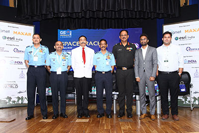
Chief of Defence Staff
India

Scientific Adviser to Raksha Mantri (the Minister of Defence)

President - The Cardillo Group and Former Director of the National Geospatial-Intelligence Agency, USA

Chairman
InSpace
India

Director,
NIAS and Board member In-Space
India

Assess the role of geospatial and space technology advancements in strengthening national security capabilities.

Enable international collaboration and cross-sectoral engagements between central and state government agencies, technology providers and the research community.

Formulate strategy for enhancing the adoption of Geospatial technologies in internal security and public safety

Discuss the challenges for technology adoption and the status of reediness in adopting such changes

Bring forward innovative solutions to develop smart and integrated security ecosystems
Participants
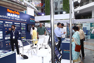
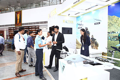
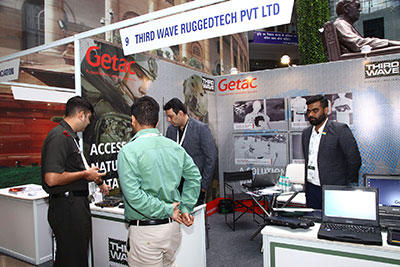
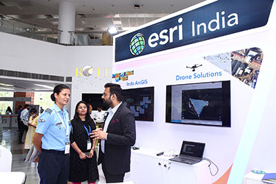
Exhibition
Organizations
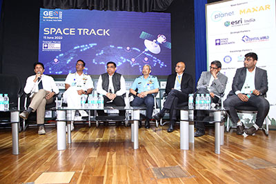
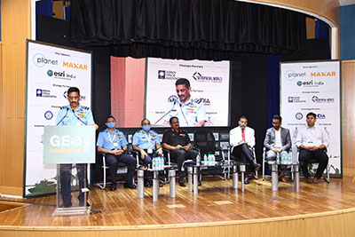
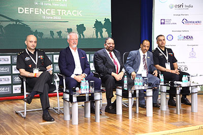
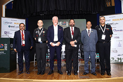
Speakers

Global
Outreach

Partnership and
Collaboration

Thought
Leadership

Product
Demos

Policy
Advocacy

Business
Development

Knowledge and
Awareness

Networking and
Socializing


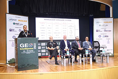
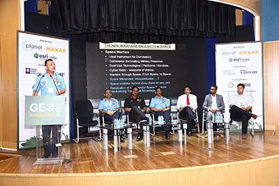
Space today has become closely integrated with our everyday life, enables numerous essential functions. Increased focus on military space applications have been accelerated by two key factors:

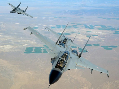
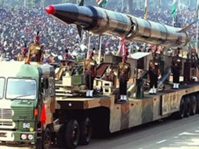
Space segment and the cyber segment have become the fourth and the fifth dimension of warfare. The importance of space segment in providing the data has increased manifold, with a plethora of space-based sensors providing real time information of movement of troops, vehicles, tanks, guns etc., which can then be accurately targeted.

We need to take a fresh look at GIS. At any given point of time,
petabytes of data must be generated from GIS for capacity building.

The availability of data in real time has indeed changed the game and acted as a catalyst for the development of the Fourth Industrial Revolution that is changing the way people work and lead their lives, besides shaping a new world order in which defence and security play such a critical part.

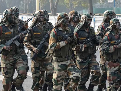
GeoIntelligence assets assist military in various ways from recce,
strategizing, providing detailed analysis
and also recognizing the
shifting patterns in the battlefield.

Security, Automation and near real time are the three important aspects
of data to actionable intelligence cycle.

We should also address the technical gaps viz the digitization phase, and most importantly, we should integrate geospatial information into the cyber domain to protect it from all kinds of attacks.

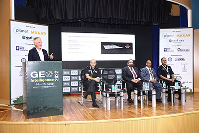
India has been a leading space nation and it is important that we develop our own space security strategy, space infrastructure and assertive defence capabilities that will be critical to deter the forces attacking our sovereignty in space.

Space is a domain full of challenges and opportunities. Space is the major source for information and can be utilized in multiple ways. The challenges are space-based surveillance and space-based guidance are all enigmas for which we need solutions